Industrial // Construction
Construction Documentation
Enterprise-grade aerial progress tracking from pre-construction through handover.
Month
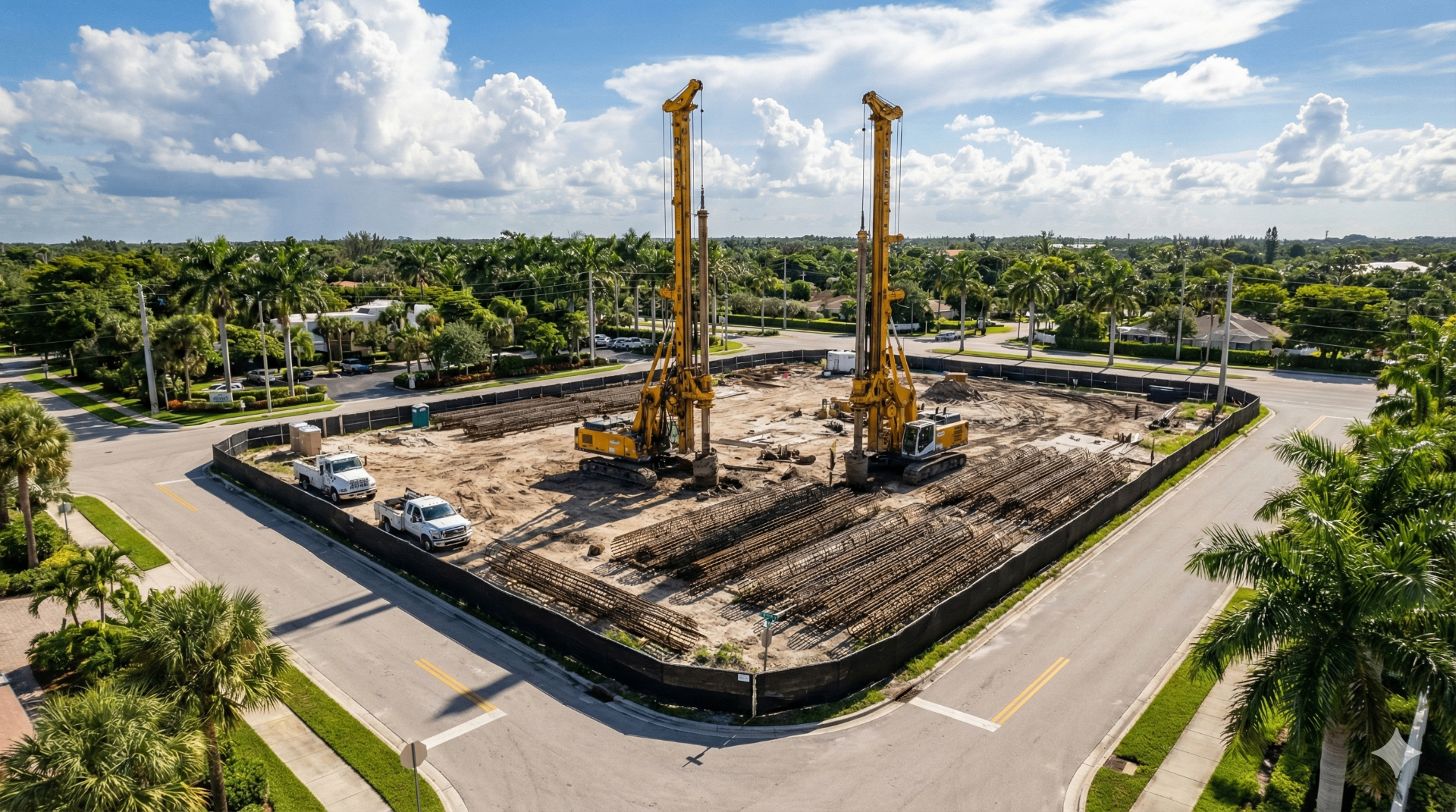
Jan — Day 1
Altitude
200 ft
Coordinates
27°58'45.45"N 82°27'58.53"W
Completion
8%
JanFebMarAprMayJunJulAugSepOctNovDec
Progress Photography
Scheduled aerial captures documenting every phase from groundbreaking to ribbon-cutting.
Orthomosaic Overlays
Centimeter-accurate site maps compared against CAD plans for variance detection.
Safety Monitoring
Aerial overwatch identifying potential safety hazards before they become incidents.
Stakeholder Reports
Automated visual reports delivered weekly to project managers and investors.
Knowledge Hub